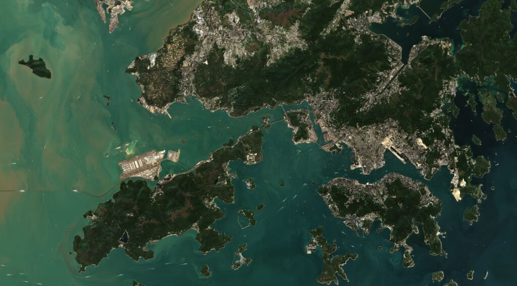
How to Choose a Satellite Imaging Provider for Business?
The high demand for space information is due to the rapid development of computer technology, as well as the improvement of geographic information systems and remote sensing possibilities. The urgent need for satellite imagery has led to the emergence of a whole galaxy of ultra high resolution satellite imagery providers that have made space data easily accessible for many users. The accuracy of georeferencing and the detail of the obtained images made it possible to form large-scale maps and perform planning that was previously possible only with the use of aerial photography. The high demand for products that enable access to higher resolution satellite images has led to the fact that the corresponding market segment is increasingly expanded by private companies that also offer satellite imagery and its analytics for different purposes. For instance, satellite imagery is widely used in the agricultural industry for the implementation of precision farming practices.
But how do you choose the satellite imagery provider that is right for you? What should you know and pay attention to? Depending on the purpose of your research, you will have to consider different features of satellite imagery. In this article, we will cover two of the main ones — resolution and accuracy.
Resolution and Accuracy: What Do They Tell You?
When choosing a hi-res satellite imagery for your business, you may face a common confusion based on basic photography knowledge where resolution is presented by the number of pixels in an image. Whereas when it comes to satellite images, you will have to work with spatial resolution — the measurement of the smallest feature that can be identified on the Earth’s surface by a satellite. So, a resolution of 30m means that one pixel of an image corresponds to the area of 30 square meters on the ground. For now, the best resolution available is 30cm, offered by very high resolution satellites.
How are Resolution and Accuracy Different?
Accuracy tells you about the distance between the position of an object in the image and its actual geographic location. So, the higher the image accuracy, the closer the objects on the picture are to their real geographic location. Accuracy depends on satellite viewing angle, its positioning, and the terrain of your area of interest. The image’s accuracy is not connected to its resolution. If resolution helps to increase the objects’ detailing in a picture, accuracy helps to identify precise geographic location of these objects.
Resolution, contrary to accuracy, basically tells you about the size of the smallest object that you will be able to identify in a picture. Therefore, the higher the resolution, the better detailing on the image you will receive. For example, high res satellite images of 1m resolution will be able to capture objects at least equal to 1m by 1m or bigger.
What Else to Consider
There are also other important features to consider when choosing a satellite imagery provider.
Revisit Period
The time that a spacecraft takes between taking a picture of the same place is called revisit period or a temporal resolution. The smaller the time intervals, the higher the temporal resolution. On average, a 3-5 days revisit time is enough to capture any important change. The higher the temporal resolution, the greater the monitoring capabilities due to constant ability to receive pictures and detect any change timely. If it’s an urgent ongoing process that needs to be monitored, like a forest fire, for instance, the imagery will be needed as frequently as possible.
Spectral Resolution
Spectral resolution implies the number and size of bands in the electromagnetic spectrum that a satellite can capture for performing future imagery analytics for different purposes. Basically, the more bands a satellite can capture, the more information can be retrieved from an image made by this spacecraft.
The best way to choose a satellite imagery provider is to rely on the specific purpose of your research: how much detail you need, how frequently, and what data you need to pull out from the image. For instance, if you require observations of vast areas for agricultural or forestry monitoring, medium resolution imagery could be enough. But if you require profound insights, you may consider high resolution earth images.
Read More: Best Satellite Phone for Backpacking
With a solid foundation in technology, backed by a BIT degree, Lucas Noah has carved a niche for himself in the world of content creation and digital storytelling. Currently lending his expertise to Creative Outrank LLC and Oceana Express LLC, Lucas has become a... Read more